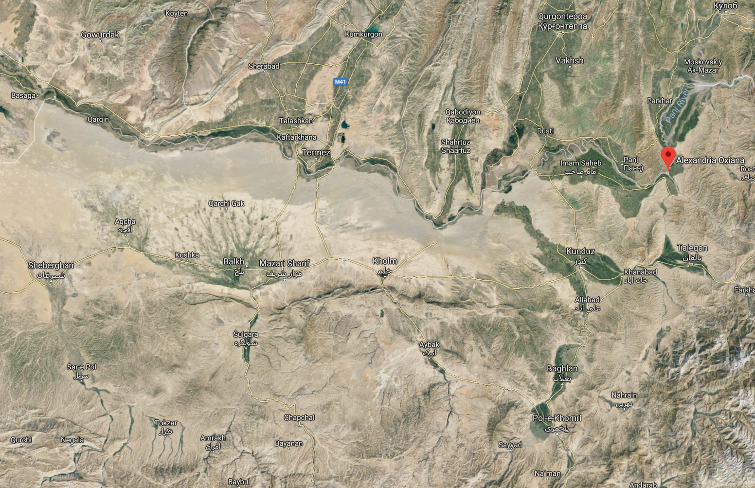
File:Bactria-Satellite-map.png
Jump to navigation
Jump to search
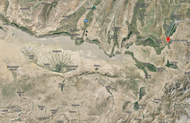
Size of this preview: 800 × 517 pixels. Other resolutions: 320 × 207 pixels | 640 × 414 pixels | 1,024 × 662 pixels | 1,552 × 1,003 pixels.
Original file (1,552 × 1,003 pixels, file size: 4.09 MB, MIME type: image/png)
Summary
From Google Maps.
File history
Click on a date/time to view the file as it appeared at that time.
| Date/Time | Thumbnail | Dimensions | User | Comment | |
|---|---|---|---|---|---|
| current | 16:17, 15 November 2020 | | 1,552 × 1,003 (4.09 MB) | Terrydu (talk | contribs) | From Google Maps. Category:Images |
You cannot overwrite this file.
File usage
The following page uses this file: